Cypnet

Smart-city infrastructure

A city that senses,connects and responds.

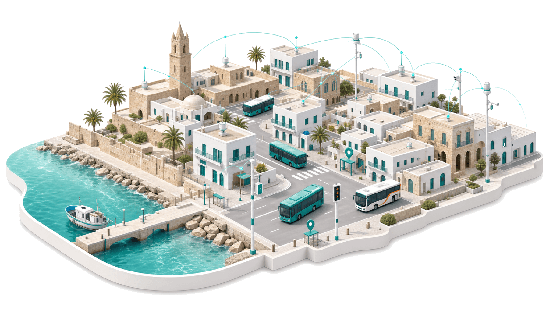
Cypnet builds the layer a modern city runs on: the LoRaWAN network that carries the signal, the sensors that read the environment, and the data services people use every day. We started by putting Famagusta's buses on Google Maps.

HAT5Scheduled10:18
  1. Palm Beach
    10:00
  2. Walk 7 min
  3. Kapalı Maraş
  4. İTÜ Durağı
  5. Derinya Border
    10:18
7 stops · 11 minLive in Google Maps

Built with, and for, the people who run cities

LoRaWANGTFSGTFS-RealtimeGoogle Transit

What we do

The connective layer for a modern city

We build the whole stack a smart city needs: the network that carries the data, the sensors that gather it, and the services that turn it into something people use.

The network that carries it

We deploy LoRaWAN gateways and build the sensor nodes that run on them: long-range, low-power coverage across a city, independent of the mobile networks.

Eyes on the environment

Air quality, water, noise, temperature and humidity, read continuously by field sensors, so the city sees what's happening block by block, not once a year in a report.

Transit people can find

We model routes, stops and timetables into GTFS and publish them, so a city's buses show up in Google Maps and every trip planner riders already use. Live today in Famagusta.

Data the city owns

Everything runs on open standards and stays the city's property: no closed formats, no lock-in, validated and kept current over time.

How it works

From a city's need to a system that runs

  1. 01

    Map the need

    We survey what you already have and what's missing, whether that's coverage, sensors or a transit map, and scope the system around it.

  2. 02

    Build to standard

    We build it on open standards: the LoRaWAN network, the sensor fleet or the validated data feed, tested end to end before it goes out.

  3. 03

    Deploy in the city

    We put it live where it belongs: gateways on rooftops, sensors in the field, transit feeds in Google Maps.

  4. 04

    Keep it running

    Cities change and sensors drift. We keep the network, the readings and the data current, so the system stays trustworthy.

References

Who we work with

One system already live in a real city, and a stack built to carry many more.

Famagusta Municipality

Flexible Public Transport — now on Google Maps

Gazimağusa's Flexible Public Transport is now live in Google Maps. Residents and visitors get door-to-door directions across the network, with stops, schedules and walking segments — the practical, accessible service a city wants to offer.

Type where you want to go into Google Maps and get directions. Flexible Public Transport is now on Google Maps.
Famagusta Municipality
Read the story

The network, on the map

● HAT2● HAT4● HAT5
3
Lines live (HAT2 · HAT4 · HAT5)
20+
Stops mapped across the city
Google Maps
Where riders find it

Contact

Bring your city onto the map

Whether you're mapping transit, monitoring the environment or rolling out a network across the city, let's talk. We'll walk you through what it takes.